Decide what kind of twisty you're after
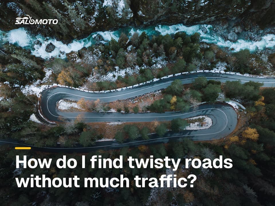
"Twisty" means different things to different riders, and the answer changes which method works best. Three honest questions first:
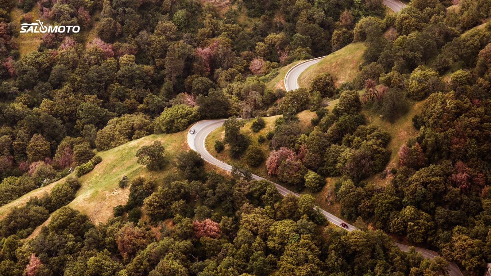
- What kind of curves? Long, flowing sweepers along a river valley ride nothing like tight switchbacks up a ridge or a narrow county road full of blind crests.
- How sharp are your skills right now? Tight, blind roads are hard work. After a long layoff or on a new bike, wide, open curves with good sight lines are the smarter pick.
- How much time do you have? Twisty roads eat time and focus. An hour of backroads can tire you out more than a much longer stretch of four-lane highway.
What makes a road genuinely good, such as rhythm, width, sight lines and pavement, is covered in what makes a great motorcycle road. This page is about finding candidates in the first place.
Five ways to find twisty roads
| Method | What it shows you | Where it falls short |
|---|---|---|
| Reading the map yourself | rivers, ridges, small connecting roads | takes practice and time |
| Curvature map (OpenStreetMap) | roads color-coded by how twisty they are | knows nothing about pavement or traffic |
| Planner with a curvy routing mode | favors twisty roads between your points | doesn't hunt down "the best" roads |
| Ride guides, magazines, tourism sites | tested roads with descriptions | can be dated; famous roads get crowded |
| Local riders, clubs, dealers | current tips on pavement and traffic | relies on a few opinions |
The best finds usually come from pairing two methods: a curvature map or a ride guide gives you candidates, and the map plus a local tip narrows them down. If you're mostly looking for good rides close to home, see how to find motorcycle rides near me.
Reading twisties off a map
A plain road map tells you more than you'd expect. These clues rarely let you down:
- Water: A road that follows a creek or river bends with it. Hilly regions like the Appalachians, the Ozarks or the Texas Hill Country are full of these.
- Contour lines: In terrain view, tightly packed lines mean steep slopes, and roads crossing them curve or switchback.
- Road class: State routes and county roads are usually twistier than US highways that were straightened for through traffic.
- The long way between towns: A connector that doesn't take the direct line is usually working around terrain.
- Few towns: Long stretches without a town mean fewer stop signs, signals and speed-limit drops.
If you care more about views than about the curve count, how to find scenic backroads takes the landscape angle.
What algorithms measure, and what they miss
Curvature maps such as roadcurvature.com calculate curve radii from the points of each road in OpenStreetMap and color the segments accordingly. That's genuinely useful, but the project is upfront about its limits: pavement, traffic and stop signs aren't part of the score, and rough map geometry can fake corners. Whether a minor road is even paved is often missing from the data.
Curvy routing modes in motorcycle apps favor twistier roads when they calculate a route. They still only connect your points, and they can't tell fresh asphalt from a patchwork of tar snakes. Some apps keep their curvy mode in a paid tier; calimoto, for example, listed its twisty profile under Premium as of November 2026. Check the current plan before you commit.
So an algorithm can find candidates. Whether a road is fun depends on sight lines, surface, traffic and your own riding. If you want to get better in curves, an advanced rider course does more than any app, and speed is never the measure.
Vet a road before you ride it
- Look at satellite imagery: paved, wide enough, center line?
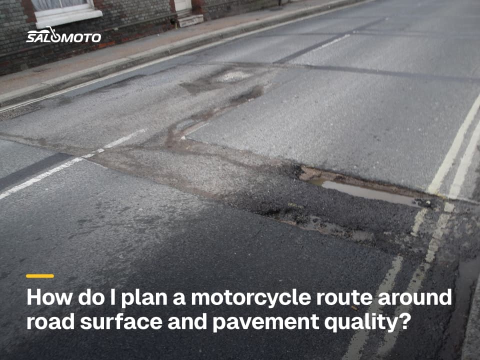
- Judge the surface, especially after winter: see how to plan by road surface
- Think about traffic: popular roads fill up on weekend afternoons, more in twisty roads with little traffic
- In the mountains, check seasonal closures and weather: see planning a mountain ride
- Plan the ride there on backroads if you'd rather skip the interstate: see a motorcycle route avoiding highways
- Note gas stops before long empty stretches
Ride any new road the first time at an easy pace with plenty in reserve. You don't know the next corner or what's on the pavement past the crest.
From a find to a route you can ride
The Salomoto route planner plans routes within Germany only, for free and without an account, so it helps if your riding takes you there. Its curvy and very curvy profiles favor twistier roads; Salomoto does not find or rate the best roads for you. Put waypoints on the stretches you found, let the profile connect them, and avoid motorways if you like. Download the result as a GPX file and load it into your GPS unit or riding app, because Salomoto plans and your device does the guiding. After the ride you can log it by hand in RoadDex with a free account; it's a logbook and records no GPS.
For US roads, the same workflow works with any planner that lets you place waypoints and export GPX. If you're wondering which bike suits a steady diet of curves, see the Bike Match guide on a motorcycle for twisty roads.