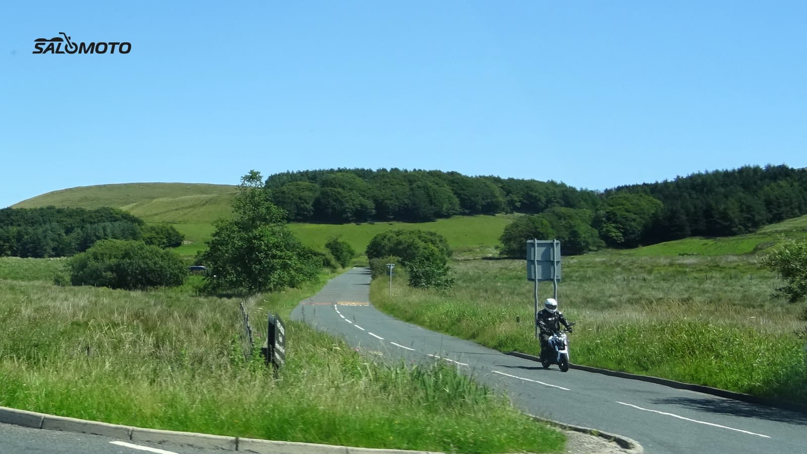
Measure "near" in riding time, not miles
On a motorcycle, "near" doesn't mean a short distance on the map. It means a ride that fits the time you actually have. A ride after work, a free Saturday morning and a whole Sunday are three very different circles around your home. Before you search, answer three questions:
- How much time do you really have? Count gearing up, a gas stop and a break. Whatever's left splits between the ride out and the ride back.
- How fast can you get out of town? In a big metro area, the slog through traffic can eat most of a short ride. For quick loops, the direction that gets you onto open backroads fastest usually wins.
- What's the goal today? Practicing curves, enjoying scenery, clearing your head or heading for a bike night.
For a realistic sense of how long a loop will take, see how to estimate riding time.
Scout your area one sector at a time
Instead of riding off at random, split the map around your home into four to six sectors, roughly by compass direction. Then answer the same questions for each one at home:
- Where's the nearest terrain? Hills, river valleys, forest or the edge of higher country add variety. Flat, built-up land is rarely worth it for short rides.
- How do you get there? Is there a quiet two-lane road leading out, or do you have to cross strip malls and busy four-lanes first?
- Which roads are candidates? County roads between small towns, routes along a creek, a road over a ridge. Spotting curves on a map is covered in how to find twisty roads.
- What counts against it? Lots of small-town stoplights, weekend tourist traffic or a road known for heavy truck use.
You end up with a short list of ideas for each direction. On every ride, pick one sector instead of defaulting to the road you always take.
Where local riders share their roads
The map tells you where curves might be. Whether a road is actually fun, the people who ride it know. These sources are worth your time:
| Source | What you get | What to watch |
|---|---|---|
| State and federal scenic byways | officially recognized scenic roads with maps | well known, can be busy |
| Riding clubs and dealer groups | group rides, fresh local tips | the group's pace may not suit you |
| Bike nights and rider hangouts | conversations with locals | season and hours vary |
| Magazines and route websites | write-ups, often with GPX | check the publish date |
| GPX sites and community apps | ready-made loops to ride | age, quality, who made the file |
The Federal Highway Administration's National Scenic Byways Program recognizes selected roads, and the America's Byways site lists them with maps; many states run their own byway programs too. For meetups, see how to find motorcycle meetups, and before you trust someone else's file, read where to find free GPX rides and how to vet them.
Turn candidates into a loop
A few good stretches don't make a ride yet. Here's how to build a loop that brings you home:
- Go out one way, come back another. A loop feels twice as long as the same road ridden twice.
- Put the best part in the middle. Get the dull miles out of town behind you, then enjoy the good roads while you're fresh.
- Start with a short version. Plan a new loop on the tight side and extend it next time.
- Leave a bailout. Know a shortcut home in case it gets late or the weather turns.
How to plan a motorcycle loop goes deeper on avoiding the out-and-back feel. Ride every new road the first time at an easy pace with margin to spare, even if it's ten minutes from your driveway.
Get to know your home turf over a season
The roads near home change through the year. Spring brings sand and gravel left from winter, fall brings wet leaves, and a road that's empty on a Tuesday evening can be packed with sightseers on Sunday. After each ride, jot down when you went, how the pavement and traffic were and what you'd change next time. After one season you'll know which loop suits which sector and time of day.
If you ride in Germany, the Salomoto route planner lets you plan loops from your door for free and without an account, including back to your start. Salomoto plans routes within Germany only, so for US roads use any planner that lets you place waypoints. A free account lets you save routes, mark viewpoints or meeting spots as places, and log each ride by hand in RoadDex, linked to a planned route where you have one. RoadDex is a logbook and records no GPS. Salomoto does not suggest ready-made rides near you or find roads for you; the scouting is yours.