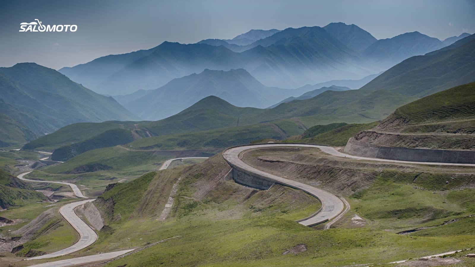
What makes mountain riding different
A mountain trip is more than a twisty road with a view. Compared with rolling hills or flat country, several things change at once:
- Temperature: It gets colder as you climb. The top of a pass can be far chillier than the valley floor, even in July.
- Weather: It turns faster. Afternoon thunderstorms, fog and strong wind up top are typical in many ranges.
- The road: Switchbacks, steep grades, long descents and sometimes narrow stretches with steep drop-offs and no guardrail. Downhill sections are hard on brakes and focus.
- Traffic: Cyclists on the climb, RVs and tour buses in the hairpins, wildlife and sometimes open-range cattle.
- Time and gas: You'll cover miles more slowly than the map suggests, and you burn more fuel climbing. Gas stations sit in the towns and valleys, and in the mountain West they can be far apart.
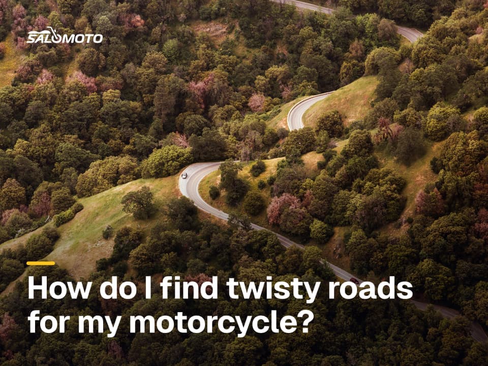
How to find curvy roads in general is covered in how to find twisty roads. This page is about what the mountains add.
Seasons and closures
High roads and passes close for the winter. When they open depends on the snowpack and shifts from year to year; published dates are usually targets, not promises. Even in summer, a pass can close for snow, rockfall or storms, and some roads close at night early and late in the season.
How to handle it:
- Check status shortly before you go. National parks, state DOTs and their 511 services publish road status and closures.
- Have a lower alternative. Know a route around every high pass in case it's shut.
- Respect the shoulder seasons. In spring and fall, expect snowmelt running across the road and icy shaded switchbacks in the morning.
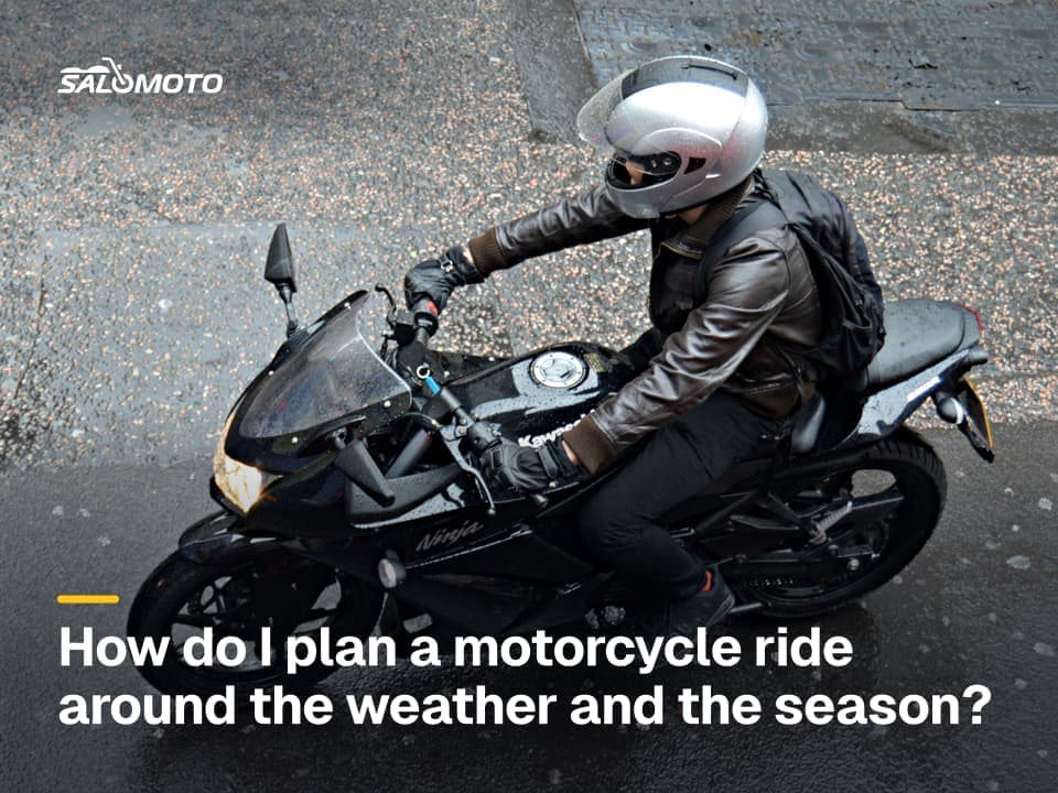
For planning around weather, temperature and daylight in general, see planning a ride around weather and season.
Rules to check before you go
US mountain travel is governed by a patchwork of state and federal rules. Key points as of November 2026, with examples rather than a complete list:
| Topic | What applies | Where to check |
|---|---|---|
| Chain and traction laws | some states, Colorado among them, activate them in winter conditions | state DOT |
| Seasonal closures | high roads close for winter; opening varies | park or state DOT |
| National parks | entrance fees; some parks use timed-entry reservations in peak season | NPS park pages |
| Fee and toll roads | some summit roads and private roads charge a fee | the road's operator |
| Helmet and equipment rules | vary by state; check each state you cross | state DMV or highway patrol |
Because rules differ from state to state, look up every state on your route before a multi-state trip.
Plan a mountain ride step by step
- Keep days short. Mountain miles cost time and energy. Plan fewer passes per day and stop at pullouts and overlooks where parking is allowed.
- Go high in the morning. Ride the highest stretches early, and stay lower in the afternoon when storms tend to build.
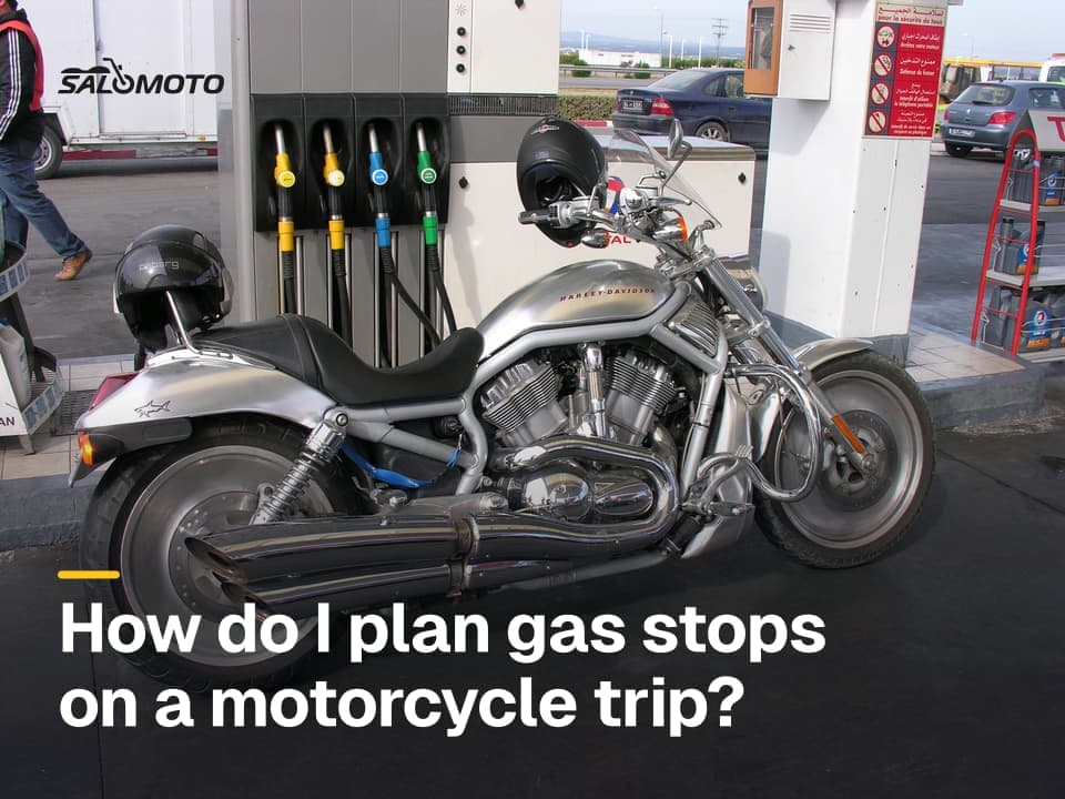
- Fill up with margin. Top off before every long climb and before remote stretches; see how to plan gas stops.
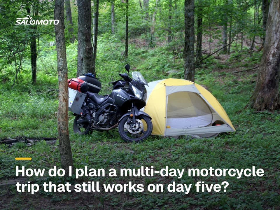
- Sleep low, ride high. On multi-day trips, stay in the valley and take the pass fresh in the morning; planning a multi-day motorcycle trip helps with stages.
- Build in a buffer. Half a day spare for weather or a closed road makes the whole trip more relaxed.
If you're after one classic region to start with, see the guide to riding the Blue Ridge Parkway.
Your bike, your gear and what Salomoto can do
Before you leave, check brake pads and fluid, tire tread and pressure, chain and lights. Pack warm layers and rain gear even if the valley is hot. On descents, use engine braking and brake before the switchbacks rather than dragging the brakes all the way down. If tight hairpins make you nervous, a training course is a better place to practice than a pass.
The Salomoto route planner plans routes within Germany only, so it doesn't cover US mountain roads; for those, use a planner that shows elevation and exports GPX. If you also ride in Germany, its elevation profile shows where a route climbs and drops. Salomoto does not show weather, pass status or gas stations. You download the route as a GPX file and load it into your GPS unit or app, and after the ride you can log it by hand in RoadDex with a free account; RoadDex is a logbook and records no GPS.
Legal information on this page refers to the United States, where rules vary by state.