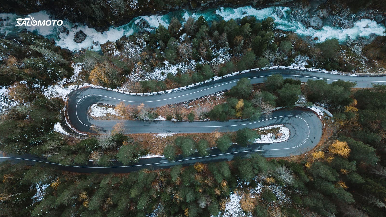
Why the same road is empty one day and packed the next
Twisty roads often run on the opposite schedule from commuter routes. On weekdays you mostly share them with locals, delivery vans and farm equipment. On weekends, holidays and long weekends, sightseers, RVs, cyclists and plenty of other riders show up, especially in good weather and in the afternoon. If you want empty curves, pick the time first and the road second.
Three patterns help you size up a road:
- Attractions draw traffic. Lakes, state parks, overlooks, wineries and trailheads fill the roads that lead to them.
- Connections draw traffic. A twisty road that's the shortest link between two larger towns is also a shortcut for cars and trucks.
- Quiet lives in between. Small county roads between towns that nobody needs as a through route often stay calm even on a Saturday.
Pick your timing: day, hour, season
| Time window | Traffic on twisty roads | What to watch |
|---|---|---|
| Weekend, early morning | usually quiet | cold, damp shade, deer, low sun |
| Weekend, sunny afternoon | usually busiest | sightseers, group rides, parking traffic |
| Weekday evening | often quiet | rush hour into early evening, dusk |
| Holiday weekends | often like a Sunday, or worse | events and travel peaks |
| Spring and late fall | fewer tourists than summer | sand, leaves, shorter days |
Fall foliage is a special case: in many regions the peak color weekends bring some of the heaviest traffic of the year to scenic roads. Off-season riding has its own risks; see how to plan a ride around weather and season.
What traffic data tells you, and what it doesn't
Public traffic data exists, but it only partly answers "will my favorite road be busy on Sunday?"
- Live traffic layers in map apps show jams and slow traffic, mostly on major roads. A small road showing green just means nobody's stopped, not that it's empty.
- State traffic counts: State DOTs publish annual average daily traffic (AADT) estimates, many of them on interactive maps; North Carolina's traffic volume map is one example. The counting follows FHWA's Traffic Monitoring Guide, and the figures are yearly averages that say little about a fall Saturday.
- Small roads often go uncounted. Use the map instead: What class of road is it? Which towns does it link? Is there an attraction along it?
Check traffic on nearby big roads before you leave anyway. If the interstate is jammed, your quiet two-lane may be everyone's detour.
Choose roads that stay quiet
Once you have candidates, for example from how to find twisty roads, this helps you sort them:
- Ride against the flow. Sightseeing traffic heads out of the city in the morning and back in the afternoon. Start early, or ride the popular road in the opposite direction at a different time.
- Save famous roads for weekdays. Ride the region's best-known road on a day off, and pick the lesser-known road next door on weekends.
- Mind the approach. Much of the traffic you meet is on the way to the good road. Planning a route that avoids highways helps you get there on quiet roads.
- Count the towns. Every town means stoplights, lower limits and local traffic. Fewer towns, calmer ride.
How good a road is otherwise, such as sight lines, pavement and rhythm, is covered in what makes a great motorcycle road. An empty road is never a license to speed: there may be a tractor, a cyclist or a deer around the next bend.
Respect keeps roads open
Popular riding roads can draw complaints about noise and crashes, and local responses such as stepped-up enforcement or new restrictions follow. Obey posted signs and local rules even if your navigation app routes you through, and ride through small towns quietly in a higher gear. Every considerate pass helps keep the road welcoming.
You choose the timing yourself, because Salomoto has no traffic or closure data. If you ride in Germany, the Salomoto route planner plans routes there with curvy or very curvy profiles and can avoid the Autobahn and other highways; it does not cover US roads. With a free account you can log each ride by hand in RoadDex, with date and duration, as a logbook that records no GPS. After a season you'll see which days your favorite loop was most relaxed.