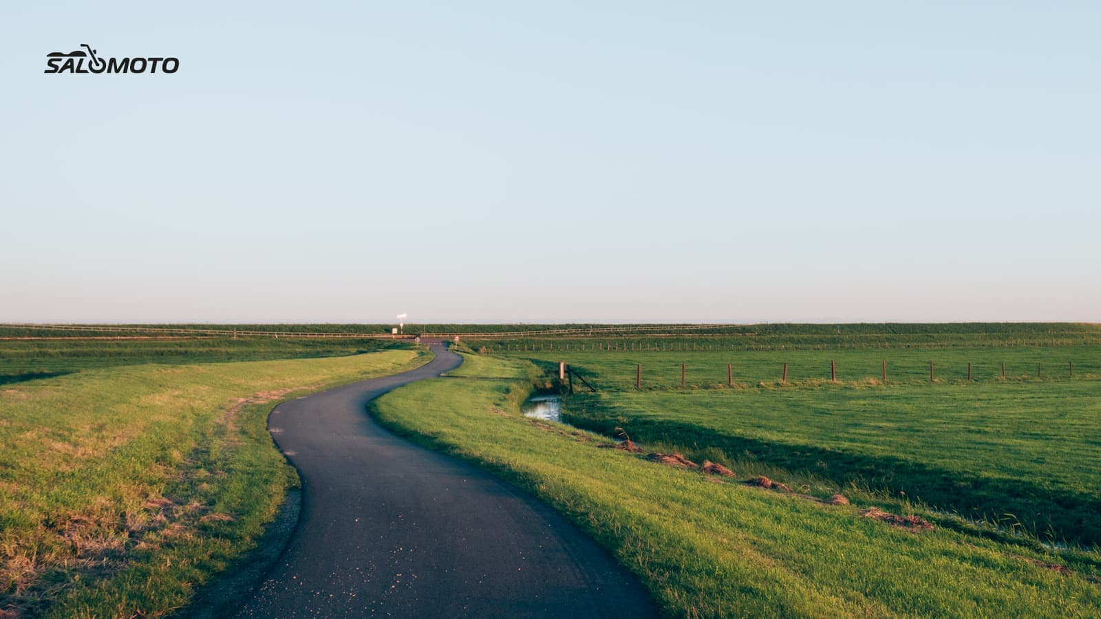
Why skip the highway?
For most riders, avoiding the interstate isn't a requirement, it's a choice. The reasons are easy to understand:
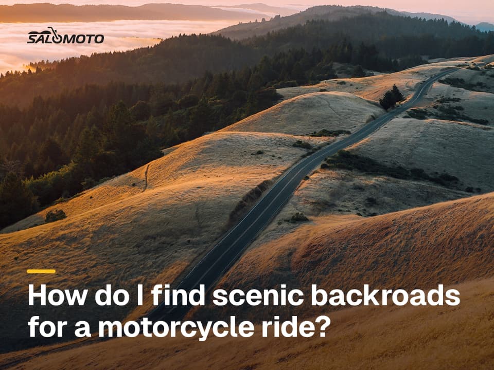
- Scenery and rhythm: On backroads you ride through small towns, valleys and woods instead of past sound walls. For finding the good ones, see how to find scenic backroads.
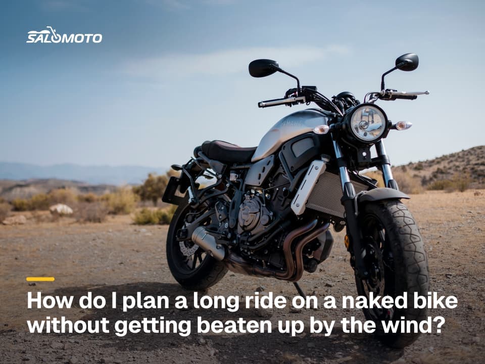
- Wind and fatigue: Without a fairing, sustained highway speed wears you out. What that means for planning on an unfaired bike is covered in planning a naked bike trip.
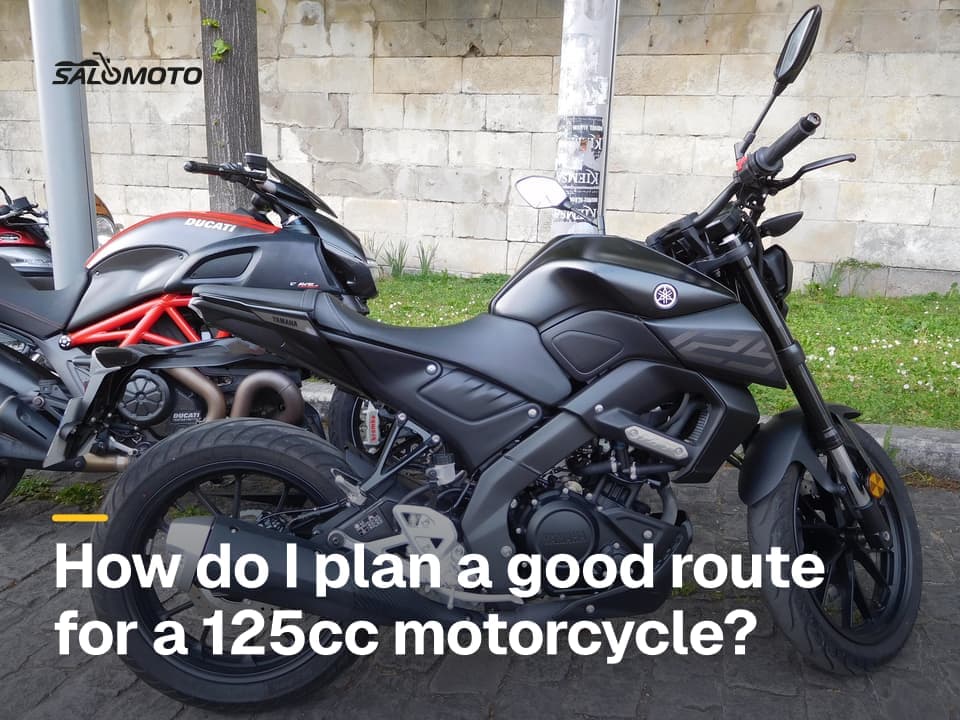
- Small bikes: A 125 cc motorcycle may or may not be allowed on the interstate depending on your state, and even where it is, it has little reserve. See planning a 125 cc trip.
- Less monotony: Changing roads keep you more alert than an hour of straight slab.
The price is time. Backroads mean small towns, stop signs, signals and lower limits. For a day ride that's rarely a problem; for a long haul to a vacation spot, it adds up.
What the law says, and what it doesn't
There's no single national rule for who may ride limited-access highways. States decide, and they define vehicle classes differently, so a "moped" or "motor-driven cycle" in one state isn't automatically the same machine in another. Florida, for example, bars bicycles and motor-driven cycles from limited access facilities (Florida Statutes 316.091). Other states use engine size, top speed or posted signs.
| Question | Where to find the answer |
|---|---|
| Is my vehicle a moped, motor-driven cycle or motorcycle? | your state DMV's definitions |
| May it use limited-access highways? | state vehicle code, DMV handbook |
| Is this particular on-ramp restricted? | signs posted at the entrance |
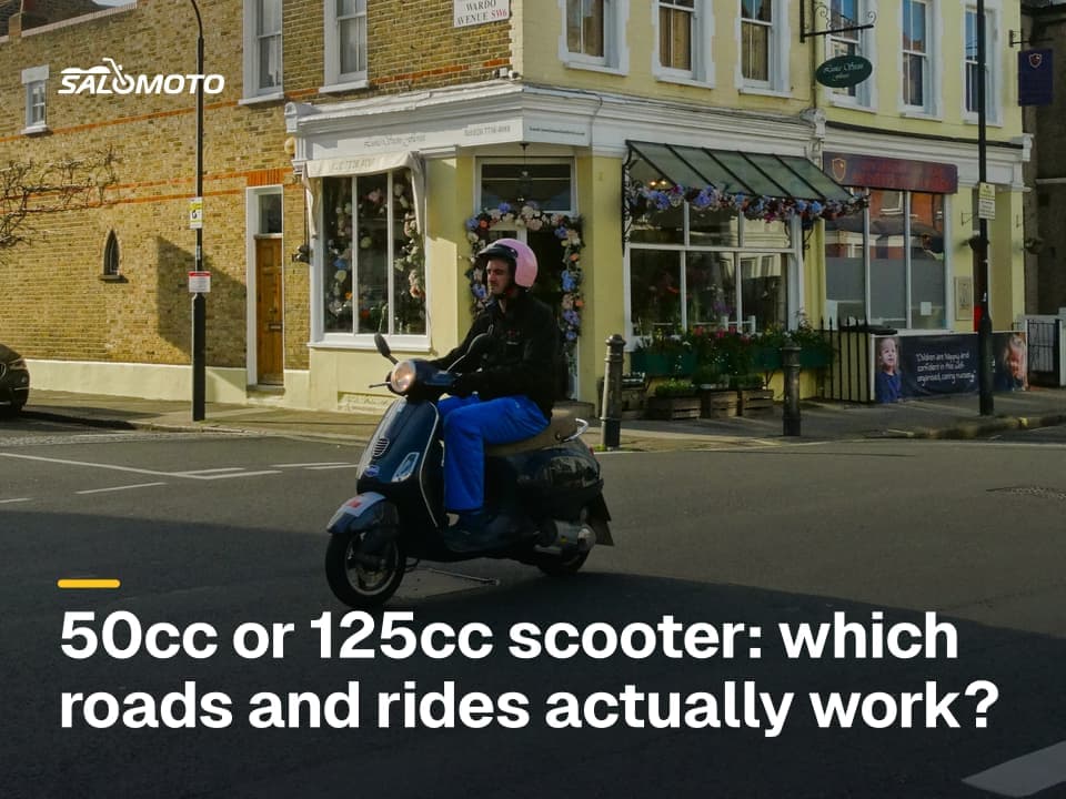
The key distinction is legal versus comfortable. A small motorcycle may be perfectly legal on the interstate and still feel exposed among semis at highway speed. Engine size alone doesn't make a bike "too small"; your state's classification does. If your vehicle is barred, a highway-free route isn't a preference but a must. For scooter classes, see 50cc vs. 125cc scooter trips; for bikes that suit long highway stretches, see the Bike Match guide on a highway motorcycle.
What "avoid highways" really does in a planner
Nearly every planner has this setting, but it doesn't mean the same thing everywhere:
- Interstates only, or expressways too? Some tools avoid only interstates and freeways. A four-lane bypass built to freeway standard may stay in your route.
- Hard or soft avoidance? Some planners avoid highways "where possible" and still use them if the detour gets long.
- Tolls and ferries are usually separate switches.
So check every route by eye. Zoom in on bypasses, bridges and tunnels, where a limited-access section often hides with no alternative except a detour through town.
Common snags
| Situation | What happens | What helps |
|---|---|---|
| Bypass built as freeway | route uses a limited-access road | add a waypoint in town, recheck |
| GPS recalculates | device picks the interstate between your points | set avoidance on the device, add waypoints |
| Construction detour | signed detour sends you onto the interstate | find your own backroad alternative |
| River with few bridges | avoiding ferries or tolls forces a long detour | allow the crossing on purpose |
| City on the way | long stretch of signals | swing wide around the city on county roads |
Step by step to a highway-free route
- Set start and destination, then turn on avoid highways.
- Check the route: Any divided highways or bypasses? Find out whether they're limited-access.
- Add waypoints on the backroads you want, so the route stays there even if a device recalculates.
- Compare riding time: Plan once with and once without highways, then decide.
- Transfer to your GPS and set it to avoid highways as well. For loading files and why devices recalculate, see loading a GPX file onto a motorcycle GPS.
- Plan your breaks: Backroads offer nicer places to stop than a travel plaza.
The Salomoto route planner plans routes within Germany only, for free and without an account. Its avoid-motorways option also excludes German expressways (Kraftfahrstraßen), with tolls and ferries as separate switches. You see distance, estimated riding time without breaks and an elevation profile, so you can compare both versions, then download the route as GPX. Salomoto doesn't do turn-by-turn guidance, so set the avoidance on your GPS or app as well.
Legal information on this page refers to the United States, where rules vary by state.