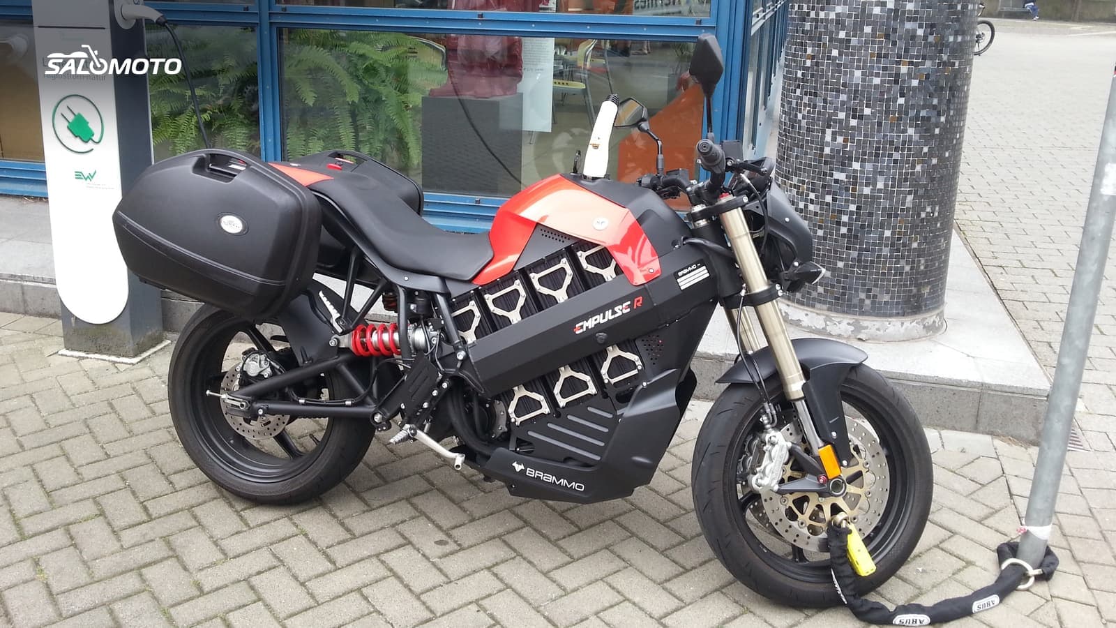
Know your bike before you draw the route
On an electric motorcycle, the charging hardware shapes the route. Before you sketch anything, answer three questions:
- How does your bike charge? Some models charge only on AC, from a J1772 Level 2 station or a household outlet; others also take DC fast charging through a CCS connector. Your owner's manual lists the connectors and maximum charging power.
- What do you need to carry? Level 2 stations in the US usually have an attached cable, but bikes with unusual inlets may need an adapter or their own cord for wall outlets.
- How far do you really get? The official range figure is a test number. Your real range is something you measure yourself, ideally on roads like the ones you'll ride on the trip.
For the third point, a simple routine works: ride a few familiar loops, one on back roads, one on the interstate, one in the hills, and note how many percent of battery each one used for the miles ridden. Most electric bikes also show consumption on the dash. After a handful of rides you'll know which legs are realistic.
What changes your range on the road
An electric bike reacts more strongly to conditions than a gas bike with a big tank. Build these factors into the plan:
| Factor | Effect on range | How to plan around it |
|---|---|---|
| High speed | consumption rises sharply | back roads instead of interstate |
| Cold weather | less range, charging often slower | shorter legs, charge while warm |
| Long climbs | heavy draw uphill, some regen downhill | check elevation, charge before the climb |
| Luggage, passenger | more weight, more consumption | bigger buffer |
| Headwind | more drag | build in margin |
How season and weather affect a ride in general is covered in planning around weather and season.
Plan charging stops with a backup
Here's how to build the charging breaks into the route:
- Find chargers: The Department of Energy's Alternative Fueling Station Locator lists public stations nationwide, and charging networks' own apps often show live availability and outages.
- Filter for your bike: Only stations with your connector and a power level your bike can actually use. A DC fast charger does nothing for a bike that only charges on AC.
- Pick a backup: Every charging stop gets a second station nearby in case the first is occupied or broken.
- Time stops with breaks: Put charging where you'd stop anyway: lunch, a coffee, a scenic overlook. Then charging time isn't waiting time.
- Don't wait for 100 percent: Charging often slows near the top. It's frequently smarter to charge only what you need to reach the next charger with a buffer.
- Charge overnight: On multi-day trips, lodging with a place to charge is gold. Ask ahead. Staging and overnights are covered in multi-day motorcycle trips.
Payment varies: many stations take a credit card or tap-to-pay, others require a network app or account. Set up the apps for the networks along your route before you leave, while you still have a good connection.
To estimate how long the day takes once charging is added, use the method in how long a motorcycle ride will take and treat each charging stop as a fixed block. Gas bikes follow different rules; see planning fuel stops.
Electric or gas for touring?
If you're still deciding whether an electric bike suits the trips you take, the Bike Match guide electric vs. gas motorcycle walks through it. For short after-work rides, charging rarely matters; for weekends and longer trips, it decides how much fun you have.
Preparing a route in Germany with Salomoto
Salomoto doesn't plan routes in the US: the Salomoto route planner covers routes within Germany, free and without an account. If your trip takes you there, set a start, a destination and, as stops, the places where you plan to charge; avoiding the Autobahn can help cut consumption. The elevation profile shows long climbs, the distance shows each leg, and the estimated riding time leaves out breaks, so add charging time yourself. Salomoto shows no chargers, no availability and no weather, and it doesn't know your battery. Download the finished route as a GPX file and load it onto your GPS unit or app.