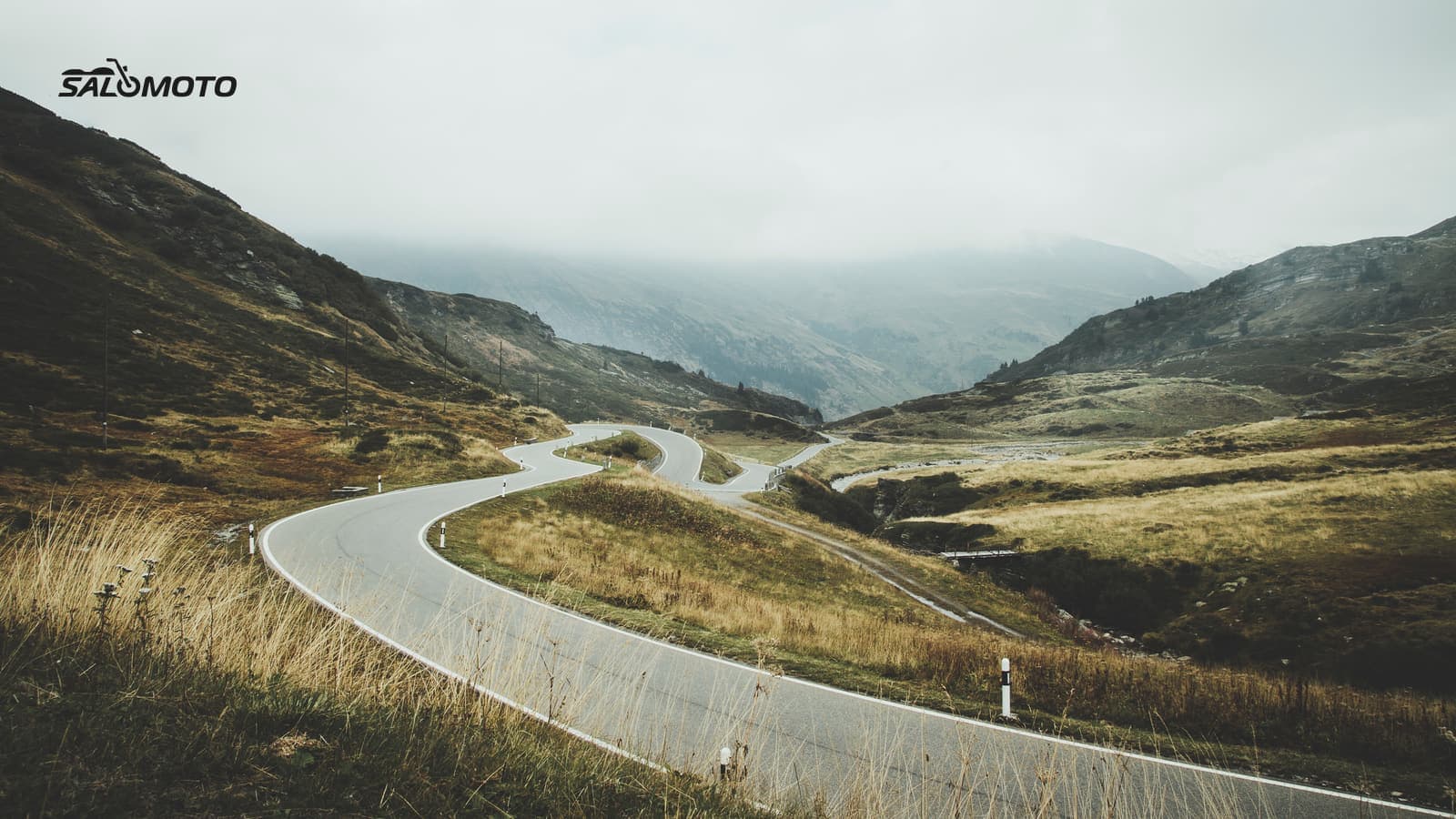
The Parkway at a glance
The Blue Ridge Parkway runs 469 miles along the crest of the Blue Ridge and the southern Appalachians, connecting Shenandoah National Park in Virginia with Great Smoky Mountains National Park in North Carolina. Mileposts count up from Milepost 0 at US 250 in Virginia, so riders plan, meet up and report closures by milepost. There's no entrance fee for the Parkway itself.
It's a designed scenic road, not a fast connector, and that shapes every part of the plan:
| Fact | What it means for your ride |
|---|---|
| Speed limit mostly 45 mph, lower in developed areas | plan days by hours, not miles |
| No gas stations on the Parkway | fuel stops mean leaving at access points |
| 26 tunnels, most in North Carolina south of Asheville | sudden light changes, possible ice in cold months |
| More than 250 overlooks | frequent safe places to stop, and frequent slowdowns |
| Most facilities open spring through fall | fewer services outside the main season |
If this is your first big mountain road, read planning a mountain motorcycle trip for the general picture: grades, altitude and fast weather changes.
Plan it in segments
Treat the Parkway as a series of day segments rather than one line:
- Pick your segments by milepost. Decide how many hours you want to ride each day and mark where that puts you.
- Anchor each day in a town. Lodging, food and fuel are mostly off the Parkway, so note the nearest access points and the detour time.
- Plan fuel before you need it. Top off every time you leave the Parkway, especially before long stretches in the high country.
- Check closures and detours. Closed sections mean detours on state and county roads, which can add real time.
- Leave slack for overlooks. You'll stop more often than you plan to. That's the point of the road.
Your navigation app may try to pull you off the Parkway onto faster highways. Add waypoints along the Parkway or plan segment by segment so the route stays where you want it. For finding similar riding closer to home, see motorcycle rides near me.
Closures, seasons and Helene repairs
The NPS says the road is open year-round, but sections close for weather or maintenance, and conditions can change during the day. Hurricane Helene in 2024 caused heavy damage in North Carolina. As of the NPS road status update on November 13, 2026, the section from NC Highway 80 to Mount Mitchell State Park (Mileposts 344.2 to 355.3) was still closed for Helene-related repairs, alongside several weather closures in North Carolina and a bridge rehabilitation near the James River in Virginia.
Before every ride day:
- Check the NPS road status page and its interactive closure map
- Check the forecast for the highest elevations on your segment, not just the valley town
- Have a detour in mind for the section you care most about
Spring brings fresh green and changing weather, summer brings afternoon storms and heavier traffic, and fall color draws big crowds on weekends. In late fall and winter, higher sections and tunnels can ice up while the valleys stay clear. How to adapt a ride to conditions is covered in planning rides around the weather.
Riding it safely
The Parkway has a serious motorcycle crash problem; the NPS describes up to 250 motorcycle crashes a year. Its Motorcycle Safety page lists the main hazards, and the rangers' "Rule the Ridge" campaign stresses single-file riding, lane position and eyes on the road:
- Curves that tighten: decreasing-radius curves catch riders who enter too fast. Slow in, look far ahead, stay on your side of the center line.
- Narrow shoulders: vegetation grows close to the pavement, and there's little room to recover.
- Oncoming drift: vehicles drifting over the center line, especially in blind curves.
- Sudden slowdowns: near overlooks, construction zones and mowing crews.
- Surface: gravel, oil spots, fallen rocks, leaves and tree debris, plus deer.
- Groups: ride single file and give each rider room in the curves.
Speed limits are federal regulation on the Parkway, and helmets are required: national parks enforce state helmet laws, and Virginia and North Carolina both require them for all riders. Ride at a pace that leaves margin everywhere; on this road, the views are the reward, not the pace. Twisty roads with little traffic and how to find twisty roads cover how to judge a road before you ride it.
Salomoto today: The Salomoto route planner covers Germany only, so it can't plan the Blue Ridge Parkway; use the NPS maps and a planner or GPS app that covers the US. Salomoto doesn't navigate or show closures either. If you also ride in Germany, you can plan routes there for free, download them as GPX tracks and log rides by hand in RoadDex.
Legal information on this page refers to the United States, where rules vary by state.