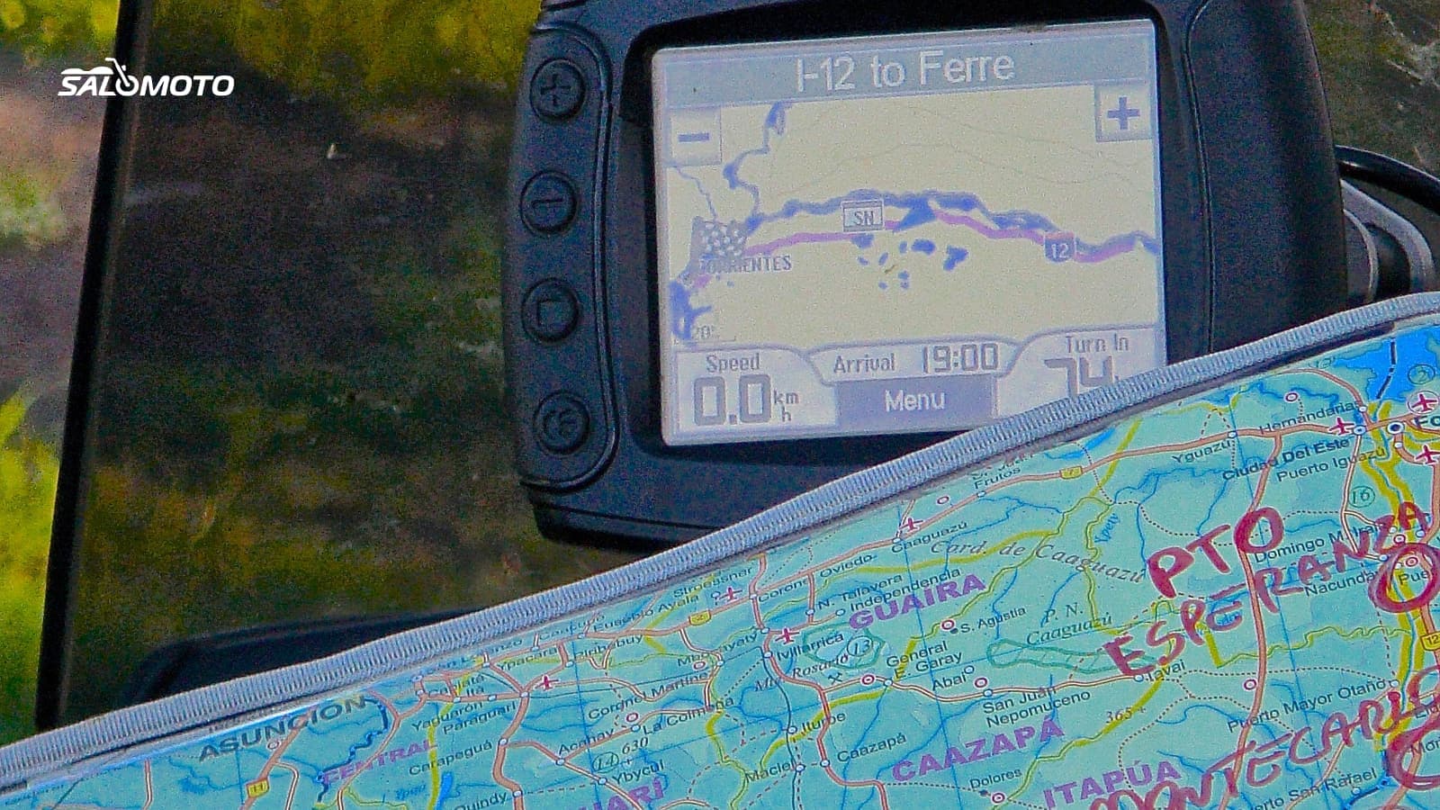
What a GPX file actually contains
GPX stands for GPS Exchange Format. It's an open, plain-text format, and its current version, 1.1, dates back to 2004. That stability is why trip planners, motorcycle GPS units, phone apps and mapping software from different companies can all trade rides with it. A GPX file describes positions, not a map: it tells your device where to go, and the device supplies its own roads.
You'll find three building blocks, often mixed in one file:
| Element | What it is | What your GPS does with it |
|---|---|---|
| Waypoint (wpt) | one named location | shows it as a pin: a diner, an overlook, a meeting spot |
| Route (rte) | an ordered list of a few points | calculates its own path between them |
| Track (trk) | a dense line of many points | shows the exact line; some units guide along it |
The format's own documentation puts it neatly: a route is a series of turn points leading to a destination, while a track is an ordered list of points describing a path.
Route or track: the choice that decides everything
Most GPX headaches come down to one mix-up: the file was loaded as a route when the rider meant the track, or the other way around.
A route is lightweight. Between its points, your GPS works out the roads with its own maps and settings. You get turn prompts, and the unit can reroute around a closed road. The catch: the result can drift from the plan, because the device prefers the fastest roads, uses a different map version, or decides that a twisty county road is a detour.
A track is rigid. It shows exactly the line that was planned or ridden. Twisty backroads stay in, whatever map your device has. On the other hand, a track won't steer you around a closure, and depending on the unit you may get no voice prompts, just a line on the screen.
How to choose:
- Track when the ride must be followed exactly: a twisty loop, a friend's favorite ride, a club route.
- Route when reaching the destination matters more than every mile and you want prompts.
- Both if your device supports it: the route for guidance, the track underneath as a check. If the calculated route wanders off, you see it right away.
Many motorcycle GPS units know two kinds of route points: via points, which are announced and must be reached, and shaping points, which only bend the line. Garmin describes shaping as a way to steer a route through an area without adding a destination. How well those points survive a transfer depends on the device and the export format.
From file to pavement: the full chain
- Find a ride: where ready-made files come from, and how to judge their age and quality, is covered in free motorcycle GPX routes.
- Plan and export your own: the settings that matter are in export a motorcycle route to GPX.
- Clean it up: trim, split or thin out points with an online editor, as shown in edit a GPX file online.
- Get it onto your device: transfer traps on a motorcycle GPS are in load GPX onto a motorcycle GPS; for phones, see open GPX on Android and iPhone.
- Use Google Maps: what works there and what doesn't is in GPX in Google Maps.
- Follow it on the road: apps worth a look are compared in free motorcycle navigation apps, and dead zones are handled in offline motorcycle navigation.
- Keep your own line: how to record a track yourself is in record a GPX track.
Common pitfalls
- Version: most devices read GPX 1.1. Some older units want 1.0, and a few planners offer their own variants that only certain devices understand. When in doubt, pick 1.1.
- Starting mid-ride: start a route halfway along and some units recalculate the whole thing. Ride to the start first, or deliberately pick the next point.
- Too few points: a route with only a start and a finish lets the device decide everything. Put a point on every turn you care about.
- Too many points: some devices cap the number of points per route or track. Check your model's manual.
- Mixed files: some apps only bring in one element type at a time. One clean file per purpose is safer.
- Desk check: look at the ride on the device after the transfer, or run its simulation mode, before you head out.
GPX in the Salomoto route planner today
The Salomoto route planner plans rides within Germany, with a start, a destination and stops, and you don't need an account. The download is a GPX 1.1 file with one track containing every point of the planned line, plus waypoints for the start, each stop and the destination. Salomoto doesn't export a GPX route with shaping points, doesn't offer KML or ITN, and doesn't accept GPX files from elsewhere. Salomoto does not navigate either; your GPS or riding app does that part. You can also open the ride in Google Maps, which rebuilds the line from a few anchor points and may adjust it.