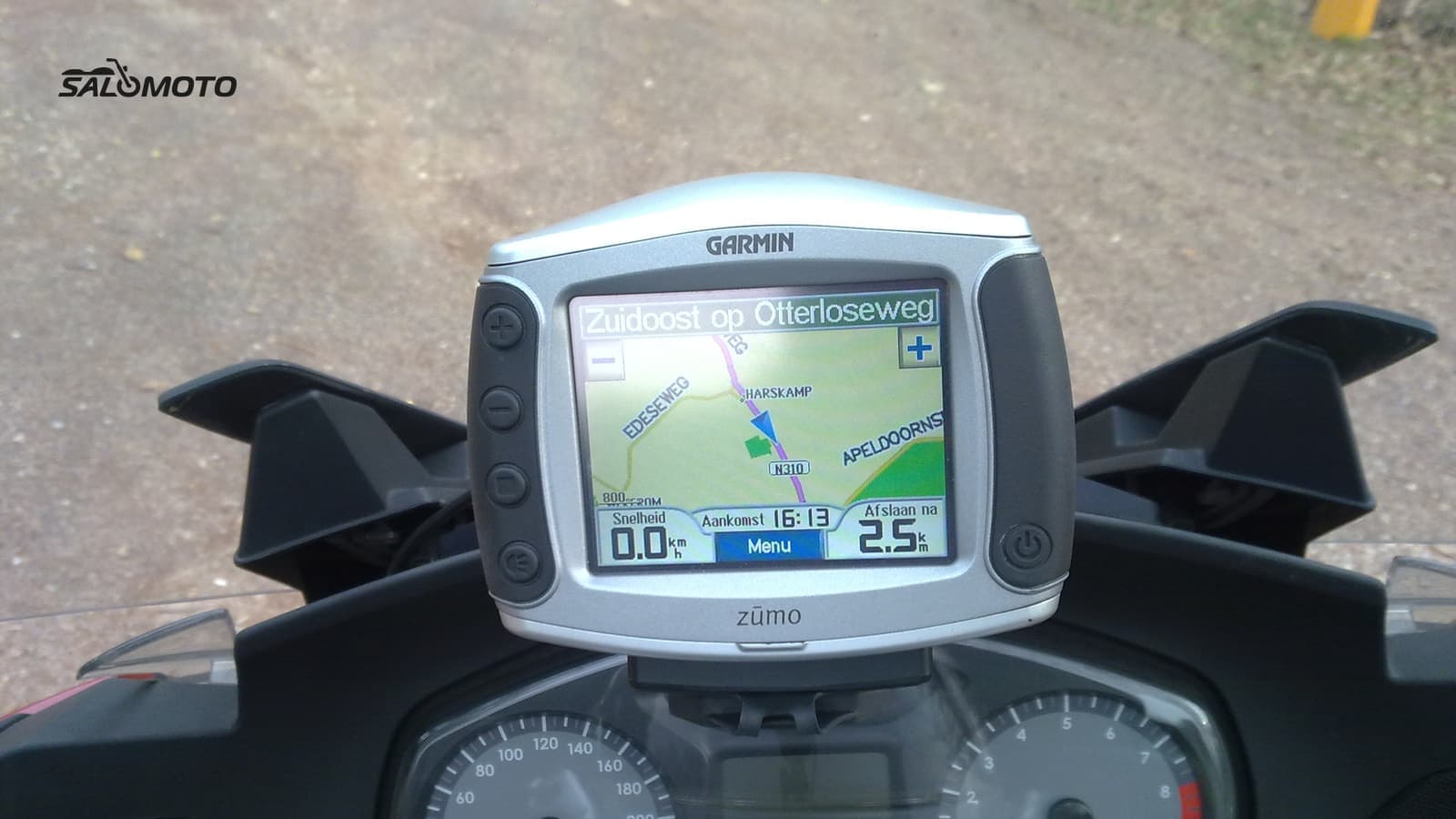
Three ways to get the file onto your GPS
Before your GPS calculates anything, the file has to land in the right place. Depending on the unit, you have these options:
| Method | How it works | Common trap |
|---|---|---|
| USB cable from a computer | connect the unit, copy the GPX into its "GPX" folder | wrong folder; a Mac may need extra software |
| Maker's phone app | open the file in the companion app, send it to the unit | pairing, app version, dropped points |
| Maker's website | upload the GPX, sync with the device | needs an account and a compatible unit |
| Memory card | file goes in the card's designated folder | not every model reads GPX from a card |
Garmin describes it like this for the zūmo XT: connect the device, it shows up as a portable device, and you copy the file into the GPX folder. The manual adds that Apple computers may need third-party software to access the files. With TomTom, you upload GPX files of up to 15 MB on Plan.TomTom.com and sync them to your device as a track.
Don't have the file yet, or was it exported the wrong way for your unit? Read export a motorcycle route to GPX first. Phones follow their own process, covered in open GPX on Android and iPhone.
What your GPS does with the file on import
This is where it's decided whether you ride your plan or the GPS's version of it. The background on tracks and routes is in the motorcycle GPX guide; here's the practical side:
- Garmin zūmo with Trip Planner: the unit spots new files and offers to bring them into the Trip Planner. A route becomes a trip there, which the GPS calculates on its own map. Tracks are kept separately and can be shown as an extra line on the map. You can edit saved trips in the Trip Planner and add shaping points.
- TomTom Rider: GPX files become tracks after import. Choose "Drive to Starting Point" and the unit first plans the way to the beginning of the track. Older models can instead convert GPX into an itinerary (ITN), which TomTom says holds at most 100 locations.
- Other units and apps: many only display a track or guide along it; others convert it into a route on request. Your model's manual tells you which.
Why your GPS recalculates, and how to rein it in
Every GPS calculates routes with its own map, its own settings and its own algorithm. When any of those differ from the planner, the route differs too. Typical triggers:
- Different settings: fastest time instead of curvy, highways allowed, unpaved roads allowed or avoided.
- Different map: another map source or an older version knows a road differently, or not at all.
- Starting mid-ride: some units then recalculate the whole thing. Ride to the start point and begin there.
- Lost shaping points: depending on the transfer method and format, shaping points arrive as ordinary via points or disappear.
To keep the ride on course:
- Match the GPS routing settings to your planning as closely as you can.
- When planning, put points at every turn where the GPS might go another way.
- Load the track too and display it under the route. If the route drifts, you see it right away.
- When in doubt, follow the track rather than the calculated route.
The dress rehearsal at home
- Open the ride on the GPS and compare it with the track on the map, especially through towns and at turns.
- Run the simulation mode if your unit has one.
- Check the names and order of waypoints, such as the gas stop or lunch.
- Put a copy of the file on your phone as a backup, in an app with maps that work without a signal. More on that in offline motorcycle navigation.
The Salomoto route planner delivers rides in Germany as a GPX 1.1 file with a track along the planned line and waypoints for the start, each stop and the destination. Your GPS treats it like any other track: it shows it, guides along it or converts it into a route, depending on the model. Salomoto doesn't export a route with shaping points and doesn't give turn-by-turn directions; your GPS or a navigation app handles that.