GPS works without signal; the map often doesn't
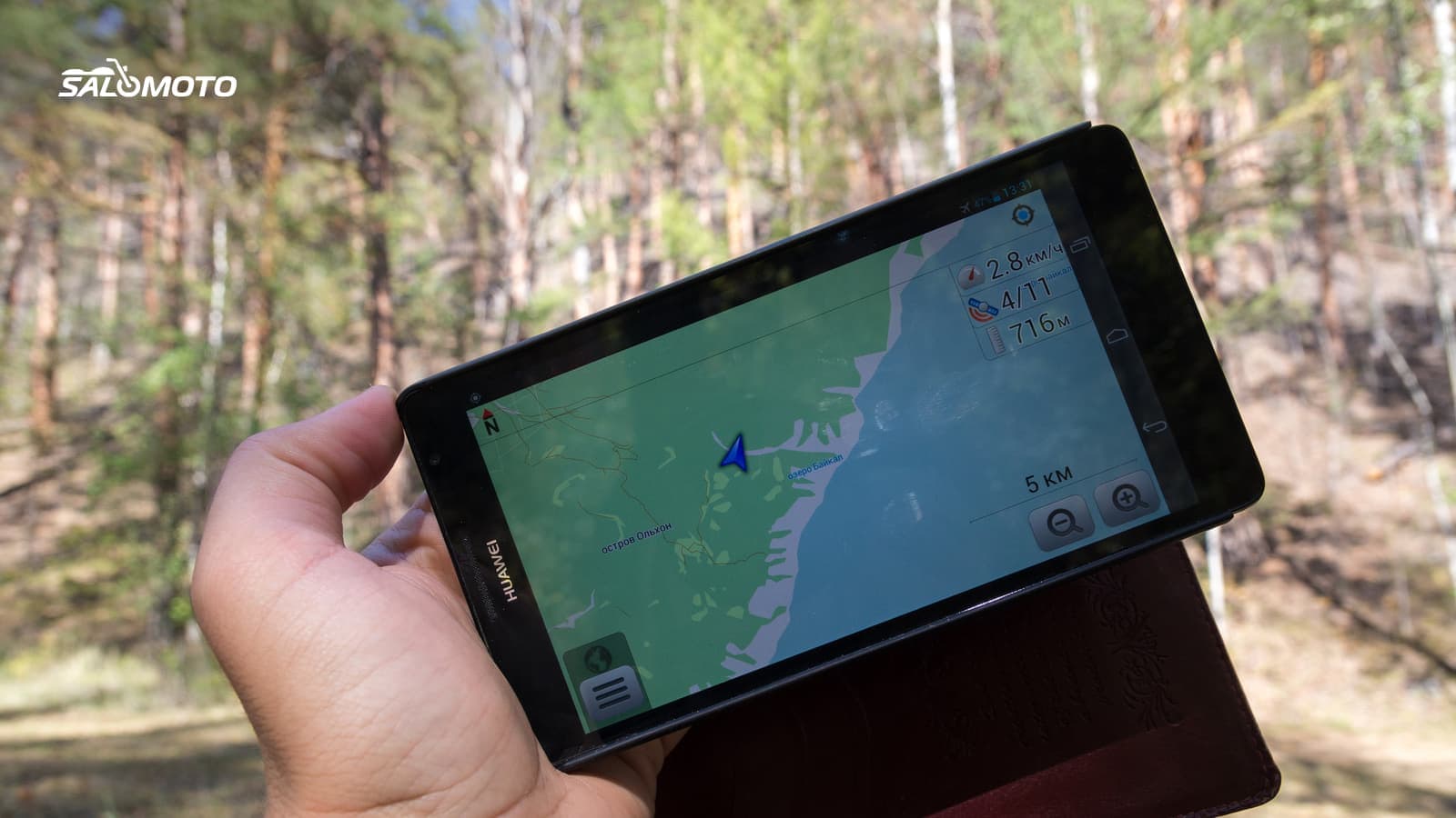
A common misunderstanding: "no bars" doesn't mean "no GPS." The receiver in your phone or GPS unit picks up satellite signals on its own. What depends on the cell network is everything else:
| Function | Without cell data |
|---|---|
| your position (GPS) | works; the first fix may take longer |
| map display | only for areas downloaded in advance |
| search for places | usually only with offline data, often limited |
| route calculation | depends on the app; many need a connection |
| guidance along a planned route | works if map and route are on the device |
| live traffic and closures | doesn't work |
The route calculation row catches many riders out. Kurviger, for example, documents that calculating a route requires an internet connection, while navigation itself works offline with its offline maps, which come with its paid Tourer+ plan. Other apps calculate on the device. Find out which kind yours is before you rely on it in a canyon.
Prepare maps and route before you leave
- Download maps over Wi-Fi for the whole area, including detours and the way home.
- Google Maps: offline areas give driving guidance only if the entire route lies inside the downloaded area; Google says there's no traffic and no alternate routes offline, and the areas expire unless updated.
- Apple Maps: on iOS 17 or later, Apple says downloaded maps offer turn-by-turn directions and arrival times offline, in select areas.
- Dedicated riding or outdoor apps: many store whole states or countries on the phone; check how many downloads the free tier allows.
- Route as a file, not a link. Put the GPX on the device (open GPX on Android and iPhone or load GPX onto a motorcycle GPS).
- Calculate while online if your app needs a connection for that step, and start guidance once to cache it.
- Airplane-mode test at home: do map, route and guidance still appear? On many phones location keeps working in airplane mode; check yours.
Choosing an app with good offline support is covered in free motorcycle navigation apps.
Check coverage along your route
Before a ride through remote country, look at a coverage map. The FCC's National Broadband Map shows mobile coverage that carriers report, by technology, for outdoor and in-vehicle use. The FCC points out that this coverage is modeled, so a covered area doesn't guarantee a usable signal in a canyon or under heavy tree cover. Use it to spot long stretches where you should expect nothing, and plan breaks or decisions before you enter them. Terrain and carriers differ from region to region, so check the map for each region you'll pass through.
Power and the phone on the bike
Navigation with the screen on drains a phone fast, and heat and cold make it worse. Practical habits:
- Charge from the bike's USB socket or a properly installed charger, and carry a power bank.
- Turn the brightness down, close what you don't need, and let the screen sleep between turns if your app supports it.
- Switch off live location sharing while you're out of coverage; constant failed attempts cost battery.
The mount matters too. Apple warns that high-amplitude vibrations, such as those from high-power or high-volume motorcycle engines, can degrade the iPhone camera's stabilization and autofocus, and doesn't recommend attaching an iPhone to such motorcycles; for scooters and mopeds it recommends a vibration-dampening mount. That's one reason many touring riders use a dedicated GPS unit with a hardwired power supply.
Your plan B when the screen goes dark
- A second device with the same GPX: a spare phone, a GPS unit or a riding buddy's phone.
- A paper map, or at least the key towns and highway numbers written on a card in your tank bag.
- Someone at home who knows your route and when you expect to check in.
On unpaved backcountry routes, these precautions matter even more; see adventure bike route planning.
The Salomoto route planner needs an internet connection and plans rides within Germany. It has no offline maps and doesn't navigate. Download the GPX before you set off and load it into an app or GPS unit that stores maps on the device; that tool then guides you without signal.