Why record a track instead of saving the plan
A plan is what you meant to ride. A recorded track is what you actually rode, including the detour you took because a road was closed and the side road you tried on a whim. If a ride turned out great and you want to repeat it exactly, the recording is the honest reference. In the GPX format a track is "an ordered list of points describing a path", usually with a time stamp and elevation on every point. How tracks differ from routes and waypoints is covered in the motorcycle GPX guide.
Set up the recording before you leave
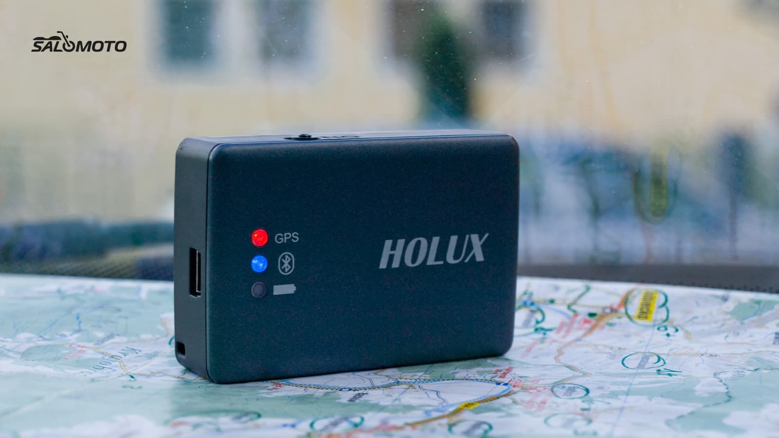
Most riders record with one of three tools: a phone app built for recording, a navigation app that records on the side, or a motorcycle GPS unit. Device manuals and app docs, such as TomTom's Rider manual and Kurviger's ride recording page, describe the same pattern: start a recording, save it under a name, export it as GPX. Whatever you use, check a few settings at home.
| Setting | What to choose | Why |
|---|---|---|
| File format | GPX | Opens in almost every map tool and GPS |
| Location | Precise, background allowed | Approximate location can't follow a road |
| Interval | Every few seconds, or a few dozen yards | Enough detail for curves, not a bloated file |
| Extra data | Time and elevation on | Useful later for elevation profiles and photos |
| Profile | Driving or motorcycle, not walking | Walking profiles save far too many points |
Do one short test ride around the neighborhood with the screen off and open the file afterward. Permissions, battery and privacy settings for free apps are covered in detail in free GPS tracking apps and privacy.
On the road: start parked, then leave it alone
- Start the recording before you pull out and stop it only once you're parked again. Never handle the phone while riding.
- Leave the recording running at short stops. A paused and restarted recording often splits into separate pieces.
- Expect gaps in tunnels and deep valleys. The GPX schema tells recorders to start a new track segment when reception drops, so you'll see breaks or a straight line across the gap.
- Power the phone or GPS from the bike if you can. A device that dies mid-ride leaves you with half a track.
After the ride: clean up the file
A raw recording is rarely ready to ride again. Before you use it as a template, clean up a copy in a GPX editor. Editing a GPX file online walks through the tools.
- Archive the original untouched and work on a copy.
- Trim the start and end, especially the stretch to and from your home.
- Remove stop clusters: the knot of points at a gas station or coffee stop, and the loop through a parking lot.
- Delete spikes, single points that jump off the road.
- Merge segments if the recording split, and check each join.
- Simplify if your GPS limits the number of points per track; check the result still follows the curves.
- Rename it with date, region and direction, for example "2026-06-14 river loop clockwise".
Riding it again: line or calculated route?
Load the cleaned file onto your phone or GPS. The details for different devices are in load GPX onto a motorcycle GPS and, for phones, open GPX on Android and iPhone. What matters most is how the device handles a track:
- It shows the line and you follow it visually. You see exactly what you rode, but you get no turn prompts.
- It turns the line into a calculated route. You get prompts, but between points the device picks its own roads and can pull you off the original line, especially on small roads or with a different profile set.
Some apps offer both. OsmAnd's documentation, for example, describes snapping a track to nearby roads, recalculating if you leave it, guiding you to the start or the nearest point of the track, and reversing it either as the original line or as a calculated route. Before the ride, compare the device's preview with your recording and look at any place where they differ. Roads change too: check for closures and construction before you set out, and repeat the ride at a pace that suits the day, not the old time stamps.
RoadDex today: Salomoto doesn't record GPS tracks and can't import GPX files. You can plan a ride you'd like to repeat in the Salomoto route planner, within Germany, save it to My routes with a free account and download it as GPX, a track with start, via and destination waypoints that loads like any other. In RoadDex you log each time you ride it by hand and link the entry to the saved route.