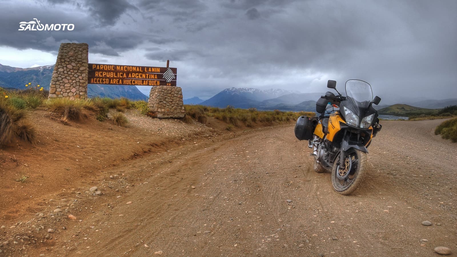
What makes an adventure bike route different
An adventure bike can do more than pavement: long-travel suspension, bigger wheels, often a big tank and an upright position that works standing on the pegs. That makes it tempting to just turn off onto the next dirt road. The planning question that other bikes never face comes first here: is that road actually open to you?
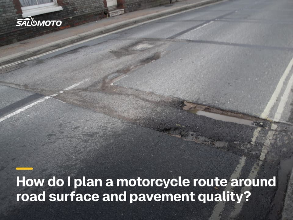
Practical limits follow. A loaded adventure bike is heavy, and on loose surfaces it tips over more easily than you'd think. Tires that are great on pavement are often mediocre on gravel and vice versa. Off the main roads, gas stations thin out and cell coverage gets patchy. How to judge pavement and surface conditions in general is covered in road surface for motorcycle routes.
Who decides where you can ride
What that means for your plan:
- National forests: use the current MVUM for that forest. It shows open routes by vehicle class, seasonal dates and limits, but no topography, so pair it with a regular map.
- Other public land: BLM field offices, state forests and parks publish their own travel designations. Check with the managing agency.
- County and backcountry roads: many are public and open, some cross private land with no public right of way. Look for signs and confirm on official maps.
- Private land: no permission, no riding. An open gate isn't an invitation.
Map apps show where a road is, not who may drive it. Treat any line you didn't verify as unconfirmed.
Check every dirt section before you go
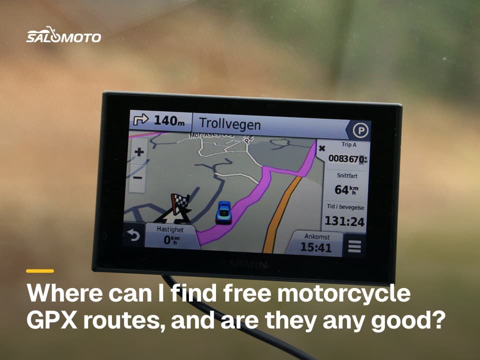
- Know the source: Did you draw the line yourself, take it from a forum or download it? For downloaded tracks, read free motorcycle GPX routes first.
- Confirm the designation: Compare the section with the current MVUM or the land agency's map, and check for temporary closures due to fire, flooding or wildlife.
- Match your vehicle class: Some routes are open to highway-legal vehicles only, others to all vehicles; some trails are motorcycle-only. Make sure your bike fits the class.
- Plan a paved bailout: If you hit a locked gate, a closure sign or conditions beyond your skill, you turn around without debate.
- Ride considerately: Slow down near hikers, horses and campsites, stay on the route and don't widen it around puddles.
Tires, gas and remoteness
- Tires: Choose them for the real share of dirt. A trip with a few short gravel roads often works on a street-biased tire. Set pressures to the manufacturer's spec for load and surface.
- Gas: Work out range from your own mpg, not the brochure, and fill up early. Dirt, luggage and headwinds often raise consumption.
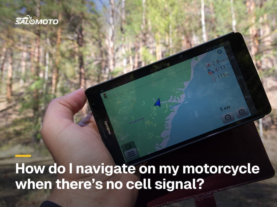
- Maps and signal: Download maps to your GPS or phone before you lose coverage. How to set that up is in offline motorcycle navigation.
- Help: Tell someone your route, carry a way to call for help where there's no signal, and know how you'll pick up a loaded bike alone.
Whether your bike suits this mix, or whether something lighter makes more sense, is covered in the Bike Match guide to the adventure bike. For short, twisty paved loops, supermoto ride planning is the counterpart.
What the Salomoto route planner can and can't do here
Salomoto doesn't plan routes in the US: the Salomoto route planner covers routes within Germany, free and without an account, and it always avoids known unpaved roads. So it isn't a tool for dirt sections, but it works for the paved connections in between if you ride there. Set start, destination and stops, avoid the Autobahn if you like, and check distance, the elevation profile and an estimated riding time without breaks. Salomoto shows no gas stations and doesn't open GPX files from elsewhere. Download the paved route as a GPX file and combine it in your GPS or app with dirt sections you've checked yourself.
Legal information on this page refers to the United States, where rules vary by state.