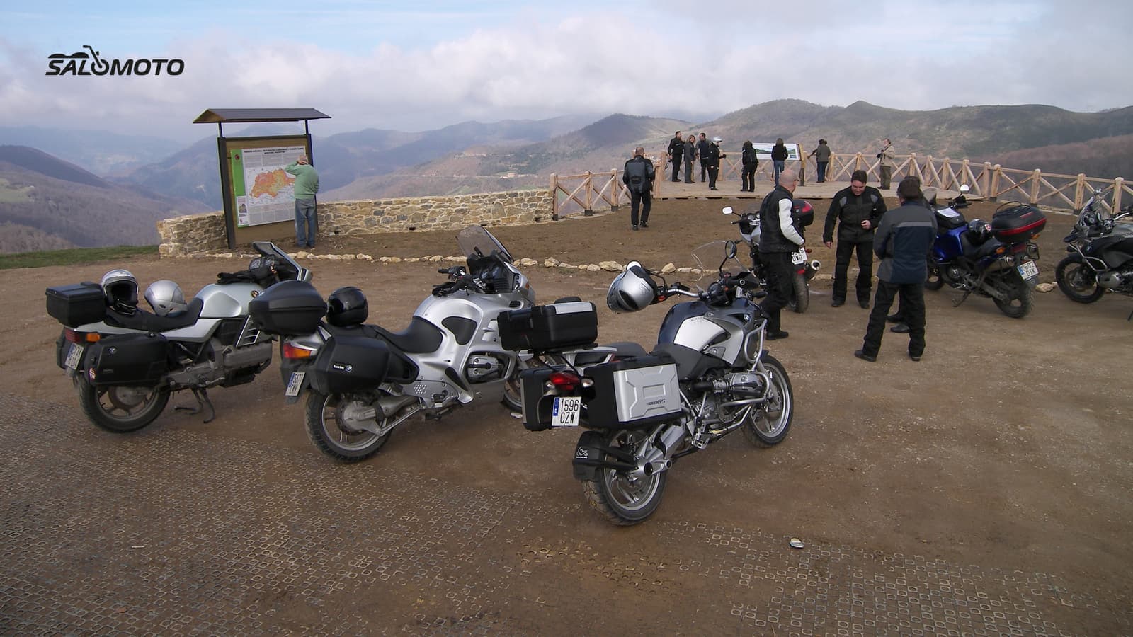
What makes a good photo stop
A great view isn't enough on its own. A photo with your bike in it needs three things at once: a background worth looking at, a place where you can legally and safely park, and light that suits the time you'll actually get there. Miss one and you either ride past or end up stopped somewhere you shouldn't be.
Places where all three often line up:
| Spot | Why it works | Check first |
|---|---|---|
| Signed scenic overlook | view and parking are built in | access, weekend crowds |
| Summit or gap with a lot | wide view, road in the frame | seasonal closures, weather |
| Dam or reservoir | water, strong lines, often parking | whether you can ride across |
| Trailhead parking | legal parking, short walk to the view | trail length, surface |
| Historic town square | character, buildings, a coffee nearby | local parking rules |
| Paved pull-off | close to the road, spontaneous | sight lines, length, gravel |
Some roads are built around this. The National Park Service says the Blue Ridge Parkway has more than 250 overlooks, and its motorcycle safety advice is simple: pull over at a designated area to take in the view.
How to find spots before you ride
The best time to scout photo spots is the night before, at a screen. On the road you lack the overview, and hunting for a place to pull over pulls your attention away from riding.
- Read the map: Maps built on OpenStreetMap record viewpoints as their own type of place, defined as a spot with a good view of the surroundings. Topo maps and many state highway maps mark overlooks and scenic byways too.
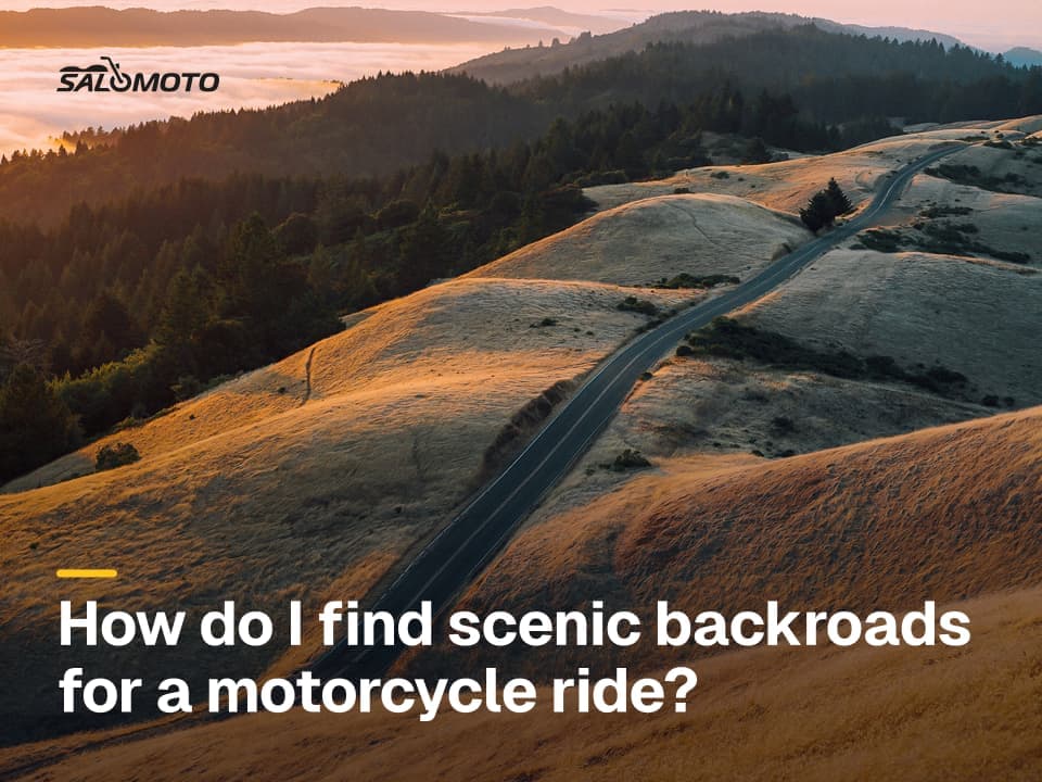
- Read the terrain: Where a road runs along a ridge, a lake or over a gap, there are usually places with a long view. Contour lines and hill shading give them away.
- Satellite and street-level imagery: Use them to confirm there's real parking, how big it is, and whether it's paved or gravel.
- Tourism and byway sites: State tourism offices, national and state parks and scenic byway sites list overlooks with parking. Check how recent the page is, since access and closures change.
- Photos by location: Photo-sharing sites with a map view show what others shot from a spot. That tells you the direction and background, not whether stopping there is allowed.
Good photo spots tend to sit on good roads, so pair this with our guide to finding scenic back roads.
Pulling over legally and safely
Beyond the letter of the law, use judgment. Never stop in the travel lane for a quick shot, and never in or just after a curve or over a crest, where following traffic sees you too late. Signal early, get completely off the road, and check behind you before pulling back out. Dirt tracks, fields, ranch gates and private driveways aren't parking, not even for five minutes. On public lands, stay on roads that are open to vehicles.
Don't take photos with a phone in your hand while riding. A mounted camera you start before you set off is the only sensible way to capture the ride in motion.
Light, angles and the bike in the frame
A few habits turn a snapshot into a good picture:
- Sun angle: Low morning and evening light looks warm and three-dimensional; midday sun flattens everything. Plan to arrive with the sun to your side or behind you.
- Angle the bike: Park it at a slight angle to the camera with the bars turned toward the lens. It reads better than a flat side view.
- Clean up the background: Trash cans, signs and parked cars distract. Moving a few steps often helps more than any editing.
- Kickstand footing: On soft ground, gravel or hot asphalt the stand can sink. A puck or a flat rock on firm ground solves it.
- Other people: Ask before you photograph strangers up close, and especially before you post the picture.
Building photo stops into your route
A photo spot is a stop like any other, and it costs time: pull in, get off, helmet off, a few tries, gear back on. Leave a buffer for it or the end of the day gets rushed. How to sequence stops is covered in planning a ride with stops, and how photo breaks fit with coffee and scenic breaks in coffee and scenic stops.
Salomoto today: In the Salomoto route planner you can add photo spots as stops on a route within Germany, no account needed. A free account lets you mark your own photo spots and viewpoints, reuse them as stops and save the route. Salomoto doesn't offer a collection of existing photo spots right now, so the scouting is up to you. Download the route as a GPX file and load it onto your GPS unit or riding app.
Legal information on this page refers to the United States, where rules vary by state.